


A Good Philips 4in Terrestrial Globe, English, c.1870 (as the globe shows the Sandwich islands and 'the dominion of Canada' indicating an age of c...
Collectables Auctions
Explore an enormous array of collectables auctions on the UK's leading online auction marketplace. Browse models, toys, dolls, games, arms, armour, militaria, books & periodicals, sporting equipment & memorabilia, musical instruments, stamps, coins, classic cars & motorcycles, camera & camera equipment, wines & spirits, maps, religious items & folk art, banknotes, entertainment memorabilia, and more. With so many reputable auction houses selling on the saleroom, you can find the collectables auctions you're looking for and more. Use tools like watch lists, auction alerts, filters, and more to speed up your search and compete in live and timed auctions. Place winning bids on the items that match your criteria and get your next collectable on the saleroom.
Popular categories
Musical Instruments & Memorabilia
Bank Notes
Cameras & Photography Equipment
Entertainment Memorabilia
Kitchenalia
Toys & Games
Railwayana
Religious Items & Folk Art
Scientific Instruments
Writing Instruments
Sports Memorabilia & Equipment Auctions
Collectable Stamps
Tools
Taxidermy
Arms, Armour & Militaria
Vintage Wine & Spirits
Upcoming auctions

355 item(s)
Filtered by:
- Category,
- Country
- List
- Grid
-
355 item(s)/page

Ray-Ban Unisex Sunglasses Black Round Double Bridge Black Frame- appear unworn examples with as pictured all relevant original paperwork and packa...

David Michael Jones (1895-1974) Map of the Third Voyage wood engraving 19 x 16cm.

Eight mid century canvas backed wall maps, Europe; the World; England & Wales; N. America; S. America; Asia; Africa; Palestine. Estimate: £20-40. ...

Lot 1895
Spanish 'piece of eight' 8 reale coin, recovered from the site of the wreck of HMS Association on
Spanish 'piece of eight' 8 reale coin, recovered from the site of the wreck of HMS Association on Gilstone Ledges, Isles of Scilly

Lot 337
Speed, John
Speed, John The Invasions of England and Ireland with al [sic] their Civill Wars since the Conquest Performed by John Speed and are to be solde ...

Map of Sea Monsters and Fantastical Beasts [Sea Monsters] : " Meerwunder und Seltzame Their ", (often referred to as "Munsters Monsters") by Sebas...

An Islamic Painting of the Map of Hajj. Approximately 55.5x40.7cm

Lot 16
SPEED (JOHN) The Kingdome of China Newly Augmented by I.S. 1626, Thomas Bassett and Richard Chis...
SPEED (JOHN) The Kingdome of China Newly Augmented by I.S. 1626, hand-coloured engraved map, decorated borders with eight costumed figures in ve...


TWO ANTIQUE MAPS comprising A General Map of South Wales by Richard Blome, and a map of Cambridgeshire with text verso (2) Provenance: private ...

Lot 334
Speed, John
Speed, John Cambridgeshire described with the devision of the hundreds, The Townes situation, with the Armes of the Colleges Of that famous Univ...
![SPEED (JOHN) Yorkshire; The North and East Ridins of Yorkshire; West Ridinges, [c.1730], hand-co...](https://portal-images.azureedge.net/auctions-2024/bonham10855/images/38d5b31b-fc81-4c30-82bb-b179011a54ac.jpg?w=155&h=155)
Lot 24
SPEED (JOHN) Yorkshire; The North and East Ridins of Yorkshire; West Ridinges, [c.1730], hand-co...
SPEED (JOHN) Yorkshire; The North and East Ridings of Yorkshire, inset plans of Hull and Richmond ; The West Ridinge of Yorkeshyre with Most Fam...

Lot 399
Map of 'Merionethshire' by John Speed, circa 1610, 43cm x 52cm, unframed and a map of 'The Fennes'
Map of 'Merionethshire' by John Speed , circa 1610, 43cm x 52cm, unframed and a map of 'The Fennes' by Ioannis Ianbonii, circa 1650, 44cm x 56cm...

Lot 80
Cary, John "Cary's Traveller's Companion or a Delineation of the Turnpike Roads of England and
Cary, John "Cary's Traveller's Companion or a Delineation of the Turnpike Roads of England and Wales....." London Printed for John Cary Map and P...

Lot 21
A map of Holy Island
A map of Holy Island : "Insvla Sacra Vulgo Holy Island et Farne", by Blaeu, hand-tinted, in frame.

Lot 460
JOHN SPEED, AN 18TH CENTURY HAND COLOURED MAP OF NORTHAMPTONSHIRE With text to reverse chapter 28
460JOHN SPEED, AN 18TH CENTURY HAND COLOURED MAP OF NORTHAMPTONSHIRE With text to reverse chapter 28
JOHN SPEED, AN 18TH CENTURY HAND COLOURED MAP OF NORTHAMPTONSHIRE With text to reverse chapter 28 book 1, together with a receipt from Boydell Gal...

Lot 259
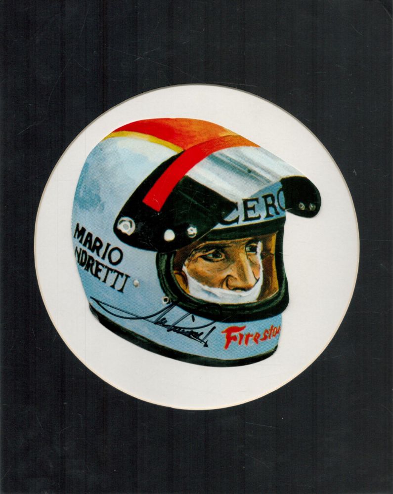
AVIATION - "LANCASTER" PUBLIC HOUSE SIGN c.1965 A unique twin-sided hanging-sign for the public-
AVIATION - "LANCASTER" PUBLIC HOUSE SIGN c.1965 A unique twin-sided hanging-sign for the public-house believed formerly located in Woodhall Spa L...

Lot 293
A GEORGE III MAP SAMPLER, 1786, worked in coloured silks on a loosely woven ground with a map of
A GEORGE III MAP SAMPLER, 1786, worked in coloured silks on a loosely woven ground with a map of England and Wales by Sarah Rushton of Macc(lesfie...

Lot 124
AFRICA MUNSTER (SEBASTIAN) Africa Lybia Morenlandt mit allen königreichen so zu unsern zeit...
AFRICA MUNSTER (SEBASTIAN) Africa Lybia Morenlandt mit allen königreichen so zu unsern zeiten darin gefunden werden, hand-coloured woodcut map, ...
![AFRICA BLAEU (WILLEM) Africae nova descriptio, [c. 1630 or later]](https://portal-images.azureedge.net/auctions-2024/bonham10791/images/d70693cb-2c26-42a3-9d72-b17a010d6222.jpg?w=155&h=155)
AFRICA BLAEU (WILLEM) Africae nova descriptio, hand-coloured engraved double-page map, 10 costumed figures on the vertical margins and 9 oval vi...

Lot 132
EAST AFRICA DE WIT (FREDERICK) Occidentalior Tractus Indiarum Orientalium a Promontorio Bonae Sp...
EAST AFRICA DE WIT (FREDERICK) Occidentalior Tractus Indiarum Orientalium a Promontorio Bonae Spei ad C. Comorin, hand-coloured engraved double-...

Lot 22
SOCIETY FOR THE DIFFUSION OF USEFUL KNOWLEDGE The Complete Atlas of Modern, Classical and Celest...
SOCIETY FOR THE DIFFUSION OF USEFUL KNOWLEDGE The Complete Atlas of Modern, Classical and Celestial Maps, together with Plans of the Principal Cit...

Lot 539
FIVE BOXES OF MIXED SUNDRIES to include an extensive array of 1930s Ordnance Survey Road Maps of the
FIVE BOXES OF MIXED SUNDRIES to include an extensive array of 1930s Ordnance Survey Road Maps of the Midlands, South of England, and Wales, a smal...

BUTLER, Samuel. An Atlas of Ancient Geography, complete with 21 copper-engraved maps, hand-coloured in outline, internally well-preserved with cre...

Lot 18
Maps of the Canary Islands
Maps of the Canary Islands comprising : "The Canarie Islands" by Robert Morden, "Les Isles Canaries" by Robert de Vangondy, "Isle Canaries" by Pie...

A folding map of Yorkshire, by Henry Teesdale and C. Stocking , 1828, hand-coloured and linen-backed in solander box-case; together with a foldin...

Lot 8
Maps of Yorkshire
Maps of Yorkshire , by John Speede, comprising: "The West Ridinge of Yorkeshyre", and "The North and East Ridins of Yorkshire", hand-tinted, in fr...

A map of "Holy Island Staples and Barwick", dedicated and presented to Capt. Will Davies by Capt. Greenvil Collins, to the King, hand tinted, in ...

A folding map of the County of Edinburgh, by Thomas Sharp, C. Greenwood and William Fowler , 1828 with hand colouring and linen-backed in gilt, em...

Lot 203
JOHN SPEEDE (1552-1629) YORKSHIRE circa 1610 double page, engraved and hand-tinted, with coat of
JOHN SPEEDE (1552-1629) YORKSHIRE circa 1610 double page, engraved and hand-tinted, with coat of arms, scale and cartouche, glazed and text verso,...

Lot 185
FLEMING, IAN - ON HER MAJESTY'S SECRET SERVICE, 3rd imp 1963, pub. Jonathan Cape, London, col
FLEMING, IAN - ON HER MAJESTY'S SECRET SERVICE, 3rd imp 1963, pub. Jonathan Cape, London, col prtd, d/w

Lot 128
AFRICA DE WIT (FREDERICK) Totius Africae Accuratissima Tabula,Amsterdam, Frederick de Wit, [c.16...
AFRICA DE WIT (FREDERICK) Totius Africae Accuratissima Tabula, hand-coloured double-page engraved map, decorative title cartouche, animal vignet...

Lot 3
BLAEU (WILLEM AND JAN) Toonneel des Aerdrycz, oft Nieuwe Atlas... Tweede Deels, 2 parts in 1 vol...
3BLAEU (WILLEM AND JAN) Toonneel des Aerdrycz, oft Nieuwe Atlas... Tweede Deels, 2 parts in 1 vol...
BLAEU (WILLEM AND JAN) Toonneel des Aerdrycz, oft Nieuwe Atlas... Tweede Deels, 2 parts in 1 vol., engraved architectural and allegorical titles...

DURHAM, The Bishoprieke and Citie of Durham. Hand coloured map, by John Speed, attractively f&g, circa 1610, with English text in the verso, 37.5c...

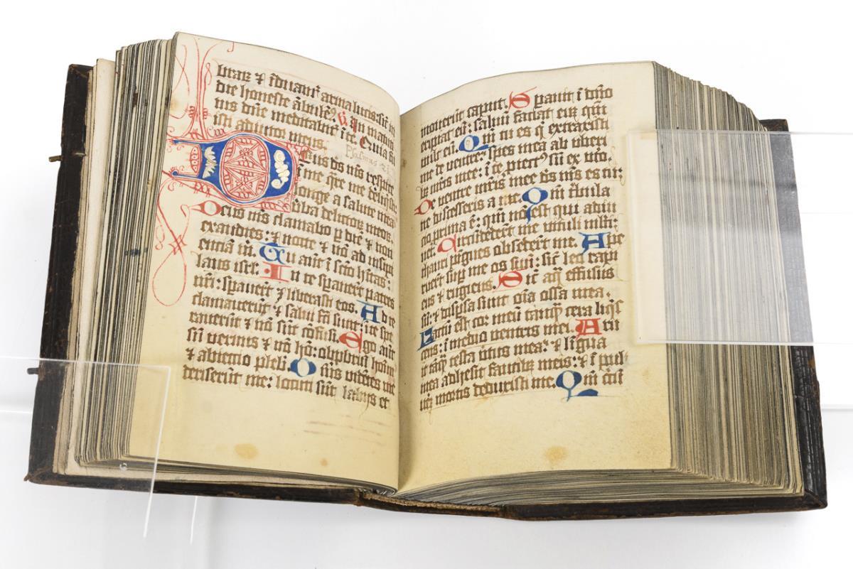
A quantity of pictures, map and similar

John Speede, a double sided hand coloured engraved map of Wales, twelve oval vignettes of principal cities to the margins and inset views of Bang...

Lot 1202G
A collection of World War II Ordnance Survey maps, maps of parts of Malaya, Singapore and Jahore,
A collection of World War II Ordnance Survey maps, maps of parts of Malaya, Singapore and Jahore, together with some 1946 newspapers.

A collection of seven 20th century Conic Projection maps together with another. The lot to include: the map of Iran (Persia) scale 1:4,000,000 pla...

Early Motoring Interest - Stawell, Mrs Rodolph "Motor Tours in the West Country " Hodder and Stoughton 1910, " Motor Tours in Wales and the Borde...

Lot 19
Maps of the West Indies
Maps of the West Indies comprising : "A New and Accurate Map of the Isles of Guadaloupe, Marie-Galante & etc" by J. Gibson, "A Map of the Island o...

Lot 12
Six maps of Yorkshire
Maps of Yorkshire including: "Lincolnshire", by T. Kitchin, hand tinted, in frame; "A New Map of Yorkshire", by T, Kitchin, hand tinted, in frame...

Lot 936
A hallmarked framed map titled 'The Silver Map of Great Britain With the Boundary Lines and the
A hallmarked framed map titled 'The Silver Map of Great Britain With the Boundary Lines and the Coats of Arms of the Historic Counties' etched on ...

Eleven antique, unframed ordnance maps of East and West Matfen, Houghton, Wallhouses, Aydon Castle, Haydon and Chesterwood, Corbridge and Aydon, a...

Lot 25
Two maps of Northumberland
Maps of Northumberland comprising : "Newcastle uppon Tyne" by Capt. G. Collins, hand-tinted, in frame; and "A New and Improved Map of Northumberla...

Russell (J. C.), A New School Atlas of Modern Geography , 8vo, half calf, containing 25 hand coloured maps of the world, c. 1830; John Andrews' N...

Maps of Durham and Lancaster , by John Speed, comprising: "The Countie Pallatine of Lancaster", and "Episcopatvs Dvnelmensis Vulgo The Bishoprike ...

Maps of Northumberland comprising : "A Mapp of Northumberland" by Richard Blome, " Northumberland", by Pieter van den Keere, "The Bishopprick of D...

A strip map of Northumberland: "The Road from Tinmouth in Northumberland to the City of Carlisle in Cumberland", by John Ogilby, hand tinted, in ...

Two maps by Robert Morden comprising: "Northumberland", hand tinted, in frame; and "Westmorland", hand tinted, in frame. (2)

WILLIAM KIP (1598-1635), Map of Dorset coloured engraving, 28cm x 38cm, later gilt frame and glazed

Lot 15
Assorted books
Assorted books inc. Building Construction, Drainage Sanitation, Voyage Round the World, Legends of Monastic Orders, Holy Sacrament 1701 and 3 Ordn...

Lot 2276
WW2 British Escape and Evasion Silk Map Sheet 43E / 43F. Double sided in colour covering Germany and
WW2 British Escape and Evasion Silk Map Sheet 43E / 43F. Double sided in colour covering Germany and central Europe on one side and Croatia and th...

Ptolemy Erlington, British b.1965 - Lemon Sole; found hubcaps, H47 x L70 x D20 cm (ARR)

Lt Col. Valentine Blacker CB. (British, 1778-1826) Satara from the NNE inscribed and dated '11th February 1818' pen & ink 23 x 14cm (9 1/16 ...

AFRICA HONDIUS (HENRICUS) Africae nova Tabula, double-page hand-coloured engraved map, numerous ships, sea-monsters, animals (elephants, lions, ...

Lot 130
WEST AFRICA DE WIT (FREDERICK) Tractus Littorales Guineae a Promontorio Verde usque ad Sinum Cat...
WEST AFRICA DE WIT (FREDERICK) Tractus Littorales Guineae a Promontorio Verde usque ad Sinum Catenbelae, hand-coloured engraved double-page map,...

Lot 131
ETHIOPIA ORTELIUS (ABRAHAM) Presbiteri Iohannis, sive, Abissinorum Imperii Descriptio, [1573 or ...
ETHIOPIA ORTELIUS (ABRAHAM) Presbiteri Iohannis, sive, Abissinorum Imperii Descriptio, hand-coloured engraved double-page map, large cartouche w...
![CHATELAIN (HENRY ABRAHAM)] Atlas historique... vol. 6 (with Africa section only), 1719; and 3 ot...](https://portal-images.azureedge.net/auctions-2024/bonham10791/images/042d00a5-0aa0-4a70-95b3-b17a010d9cce.jpg?w=155&h=155)
Lot 156
CHATELAIN (HENRY ABRAHAM)] Atlas historique... vol. 6 (with Africa section only), 1719; and 3 ot...
[CHATELAIN (HENRY ABRAHAM)] Atlas historique, ou nouvelle introduction a l'histoire..., vol. 6 (with Africa section only), title printed in red ...

Lot 211
THAILAND AND EAST ASIA TACHARD (GUY) Reis Na Siam, Amsterdam, A.D. Oossaan, 1687; and 11 others ...
THAILAND and EAST ASIA TACHARD (GUY) Reis Na Siam edaan door den Ridder de Chaumont, in't Nederduitsch gebracht door G. V. Broekhuizen, addition...